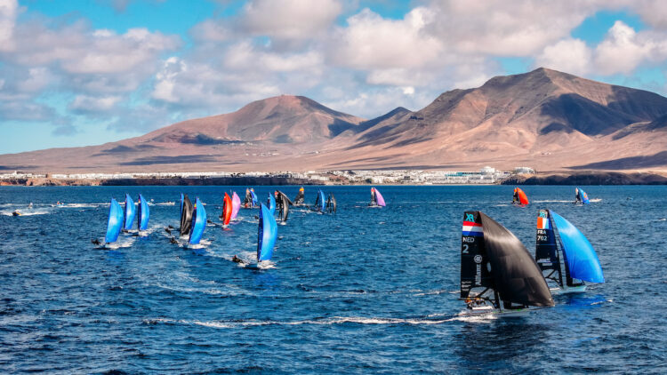
Timanfaya: How to Visit the Fire Mountains
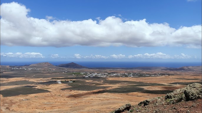
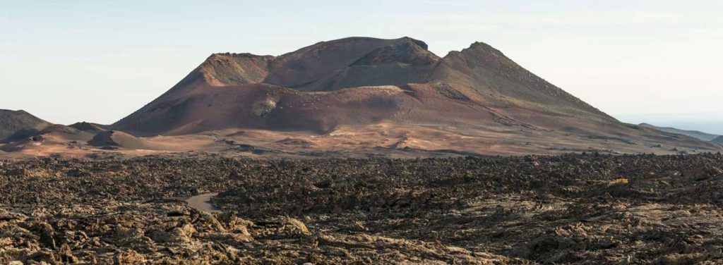
There is a spot in southern Lanzarote where the ground, a few centimeters beneath your feet, passes 250 degrees Celsius. Timanfaya — the Fire Mountains — is the only national park in Spain of purely volcanic origin, the intact record of the eruptions that buried a quarter of the island between 1730 and 1736. It is not a landscape you look at: it is one that is still hot.
How to visit Timanfaya: the new timed-entry system
Since June 15, 2026, visiting the Fire Mountains works on an assigned time slot. When you buy your ticket you choose the day and the entry window, and it is best to book online and in advance: daily capacity is limited and sells out in high season. Practical tips: arrive about 15 minutes before your slot, have the ticket downloaded on your phone — coverage in the area is patchy — and note that the park interior is toured only by the official bus. Free access on foot is not permitted inside; the coastal path is the exception.
→ Booking and current schedules on the official CACT — Fire Mountains page.
The Ruta de los Volcanes
The heart of the visit is the Ruta de los Volcanes, a roughly 14-kilometer bus route that César Manrique designed in 1968 to cross the core of the eruptions without damaging it. It lasts about 35-40 minutes and passes craters, “aa” and “pahoehoe” lava flows, volcanic tubes and the Valley of Tranquility. The road is blended into the terrain until it is nearly invisible — part of Manrique’s language, which you will recognize if you have seen his other spaces on the island.
Islote de Hilario and El Diablo
The route starts and ends at the Islote de Hilario, where the parking, restrooms and geothermal demonstrations are concentrated: brush that bursts into flame when dropped into a crack, water that erupts as a geyser when poured into a pipe. The underground heat also cooks at El Diablo, the restaurant Manrique designed with a grill mounted over a volcanic vent. The little devil logo you will see throughout the park — on wood from scrapped ships — is his too.
Getting there and tips
Timanfaya is in the southwest, between Tinajo and Yaiza, on the LZ-67 road. Before entering it is worth stopping at the Mancha Blanca Visitor Center (free access), which explains the park’s geology in several languages. Bring a hat and sun protection in summer, warm clothing in winter — it is a windy area — and some cash, since in such a remote setting the card reader does not always work. Next to the park is the Echadero de los Camellos, where you can ride a dromedary for a short trip across the badlands.
→ To fit Timanfaya into the rest of your trip, see our guide to things to do in Lanzarote; and to understand Manrique’s mark on the park, our guide to César Manrique.
Published: January 18, 2018. Updated: June 10, 2026. Official source: CACT Lanzarote — Fire Mountains.